SURVEY & SEABED MAPPING
SEABED MAPPING
GEOPHYSICS & HYDROGRAPHIC
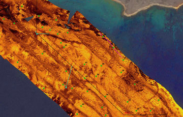
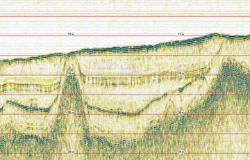
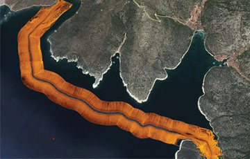
Geophysical measurements consist of determining seabed sediment thicknesses, localizing and mapping structures that may impede the project eligibility. Hydrographical measurements consist of collecting and mapping with extreme precision the bathymetry data specified according to determined standards. All operations are performed according to international standards by crew and equipment organized by competent engineers.
GEOTECHNICS (SEABED SAMPLING)
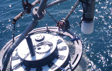
In projects such as submarine cable plants, coastline constructions, geotechnical operations including grab sampling, gravity corer, vibrocorer, CPT and sounding tests are being done for ocean soil calculations. Collected samples are protected and transferred according to international standards to laboratories for analysis. In CPT and vibrocorer implementations, acoustical geolocation system (USBL) is also applicable for precisely determining the sampling location.
OCEANOGRAPHIC
Physical properties of sea water such as temperature, salinity, concentration and features like wind, current, wave and tide are determined according to project requirements. For contemplated projects all measurements needed within the scope of meteorological and oceanographical services are rendered by our firm. Short or long term measurements are noted real time, reported with data analysis and presented to our customers.
ENVIRONMENTAL
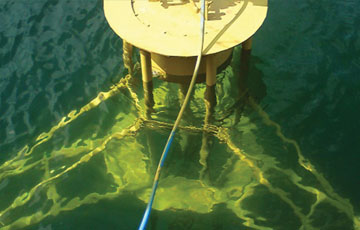
Gatemarine performs environmental measurements for environmental impact evaluation studies, for observing coastline constructions and their utilization spans. Collected data is compared to present literature and environmental instructions. With adequate equipment, water and sediment samples can be collected from any desired depth without any diving operation required.
ROV OPERATIONS
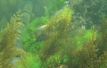
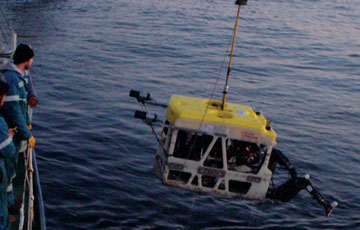
Gatemarine renders ROV services in inspection, control, maintenance and repair, and measurement tasks for examining submarine pipe lines and cables, for safety of oil rigs and natural gas platforms and minimization of possibly related environmental risks, and for observation of seabed structures especially in unsuitable sites for divers.
CABLE & PIPE LINE SURVEY
Cable and pipe line route survey is performed to be informed of the seabed structure and planning the route accordingly, estimating the costs of tasks like drilling – burial, establishing the routes safely and in the most economical ways. Bathymetry is the basis of these operations. However, in order to minimize the risks and costs, all data derived from sonar, magnetic, seismic measurements and geotechnical and oceanographical studies should be correlated and interpreted all together. In seismic and geotechnical studies, seismicity and seabed information are provided, metalic objects and shipwrecks are localized, anomalies detected by sonar measurements are identified and their characteristics and risk levels are found out. With oceanographic studies, it is possible to determine the influence of currents, waves and the chemical properties of the water on the task to be performed and thereby specifying the environmental infuence of the task with the estimations, analysis and interpretations, therefore indicating the possible risks to be encountered during and after the establishment of the pipe line setting. High resolution multibeam echosounders ensure the three dimensional examination of pipe lines, constructions like platforms, and the seabed they are situated on The following are provided by high resolution multibeam measurements:
The following are provided by high resolution multibeam measurements;
-
- Span length and height of pipe line,
- Detection of distortions and contortions,
- Interaction of cable and pipe lines with the ground they are situated on,
- Detection of any enthalpy, collapsing, bed shear formation that may influence cable or pipe lines.

